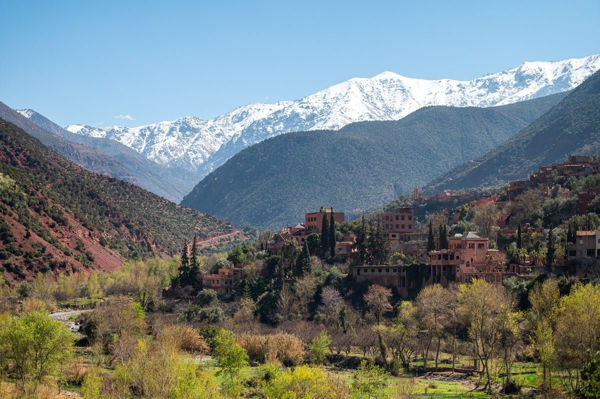
Understanding the Atlas ranges
Morocco has three main Atlas ranges:
- The High Atlas — the highest, running south-west to north-east across the centre of the country. It includes Jebel Toubkal (4,167 m), the highest peak in North Africa, and the M'Goun massif.
- The Middle Atlas — further north, between Fez and the High Atlas: cedar forests, lakes, and towns like Ifrane and Azrou.
- The Anti-Atlas — the older, lower range to the south, with granite landscapes, almond trees and towns such as Tafraoute.
The mountains are home to Amazigh (Berber) communities whose villages, terraces and irrigation channels shape the landscape. Tamazight languages are widely spoken.
Easy trips from Marrakech
| Destination | Time from Marrakech | Good for |
|---|---|---|
| Ourika valley | About 1 hour | Riverside villages, short walks to the Setti Fatma falls, lunch by the river |
| Imlil | About 1.5 hours | Village walks, mule trails, gateway to Toubkal |
| Asni and Lalla Takerkoust lake | About 1 hour | A lake with mountain views, quad and kayak activities |
| Ouzoud waterfalls | About 2.5–3 hours | Morocco's tallest waterfalls (around 110 m), Barbary macaques, boat rides at the base |
| Tizi n'Tichka and Telouet | About 2.5–3 hours | High pass, Glaoui kasbah, en route to Ouarzazate |
Setti Fatma in the Ourika valley is the end of the road, and walks to the first of its seven waterfalls take 30–60 minutes with some scrambling over rocks. Local guides will offer to accompany you; for the first fall, a guide is optional.
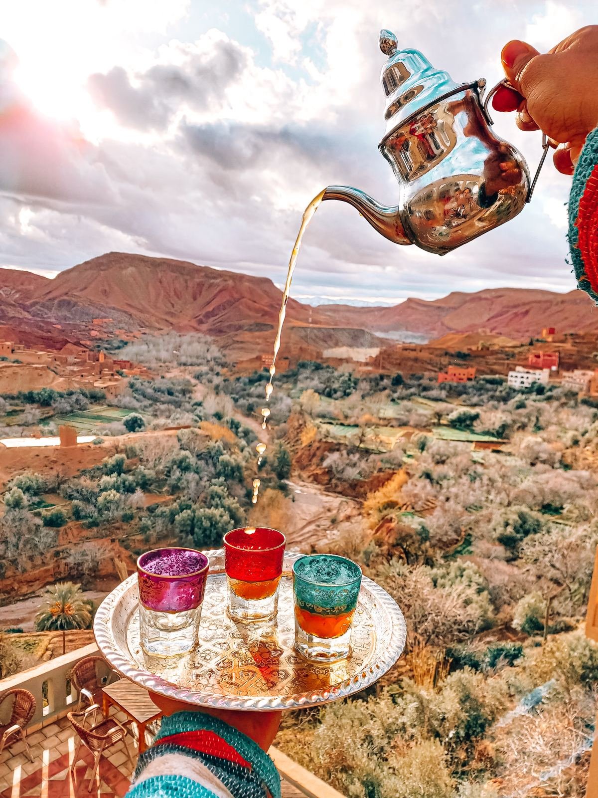
Ouzoud is a long day trip but rewarding. Walk down through olive groves to the base of the falls, take the small boat to the spray, and look out for macaques along the paths — do not feed them.
Climbing Toubkal
Toubkal is a non-technical climb in summer and autumn — essentially a long, steep hike — but the altitude makes it a serious undertaking.
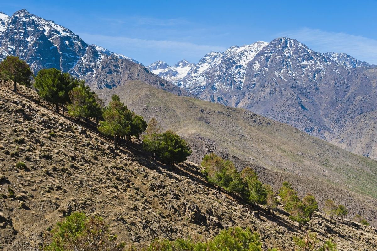
The classic two-day route:
- Day 1: Drive from Marrakech to Imlil (1,740 m). Walk via the shrine of Sidi Chamharouch to the Toubkal refuges (about 3,200 m). Allow 5–6 hours.
- Day 2: Start before dawn, climb the scree slopes to the summit (4,167 m) in about 3–4 hours, then descend all the way to Imlil. A long day of 9–11 hours.
A three-day version, with an extra night in Imlil or at the refuge, is better for acclimatisation and more enjoyable.
Guides. Since 2019, visitors climbing in the Toubkal National Park are required to be accompanied by a licensed mountain guide. Book through a reputable agency or a guesthouse in Imlil; mules can be hired to carry bags to the refuge.
Winter ascents (December to March) require crampons, an ice axe and winter mountaineering experience, as the upper slopes are covered in snow and ice. Avalanches and very cold temperatures are possible.
Altitude. Headaches, nausea and poor sleep at the refuge are common. Drink plenty of water, go slowly, and descend if symptoms worsen.
Multi-day treks
- Toubkal circuit (5–7 days): loops around the massif through remote villages and over high passes such as Tizi n'Ouanoums, and past Lac d'Ifni.
- M'Goun traverse (4–6 days): crosses the central High Atlas through dramatic gorges, including the Tessaout and the Arous gorges, with river walking.
- Happy Valley (Aït Bouguemez): a high, green valley with gentle hiking, good for families and beginners.
- Jebel Saghro (winter trek): a volcanic range south of the High Atlas, best from November to March.
Most treks are organised with a guide, a cook and mules, sleeping in gîtes (village guesthouses) or tents.
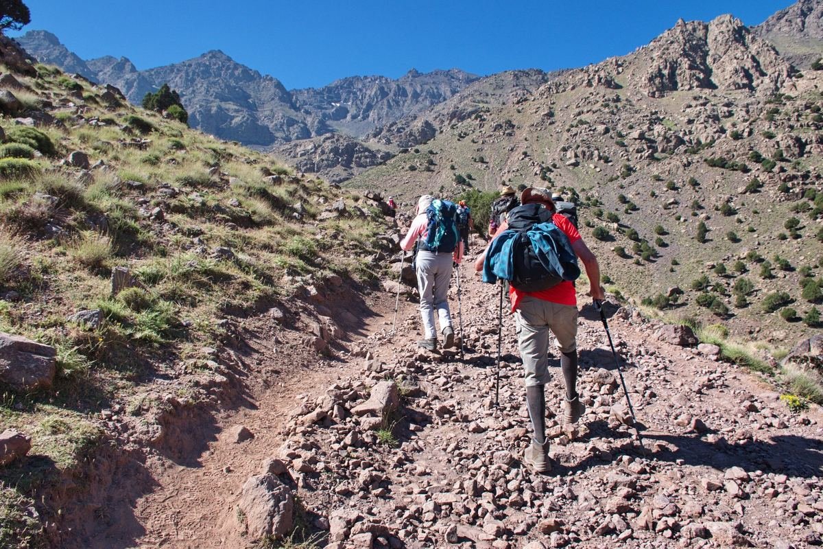
The Middle Atlas
The Middle Atlas is greener and gentler. Highlights include Ifrane, a town built in the 1930s in Alpine style, the Azrou cedar forest with its Barbary macaques, the lakes around Dayet Aoua, and the source of the Oum Er-Rbia river. It is a natural detour on the road between Fez and Merzouga, or an easy day trip from Fez.
After the 2023 earthquake
On 8 September 2023, a strong earthquake struck the Al Haouz province, south-west of Marrakech, causing severe damage and loss of life in many High Atlas villages. Reconstruction has continued since. Most trekking routes and villages around Imlil reopened to visitors relatively quickly, and tourism is an important source of income for the communities. Travelling with local guides and staying in local guesthouses is a direct way to support recovery. Check the current status of specific villages and roads with your guide before setting out.
When to go
- April to June: green valleys, blossoms, snow on the peaks — excellent for walking.
- July and August: hot in the valleys but pleasant at altitude; the best time for a straightforward Toubkal ascent.
- September and October: stable weather and clear skies; harvest season for walnuts and apples.
- November to March: snow on the high peaks; winter mountaineering, skiing at Oukaïmeden (the highest ski resort in Africa, when there is enough snow), and cold nights in village accommodation.
What to pack
- Good walking boots with ankle support.
- Layers: mountain mornings and evenings are cold even in summer.
- Sun hat, sunglasses and sunscreen — UV is strong at altitude.
- A warm sleeping bag or liner if staying at refuges.
- Water purification tablets or a filter bottle.
- Cash for guides, mules, gîtes and tips.
Responsible travel in the mountains
Ask before photographing people, dress modestly in villages, buy from local cooperatives, and take your rubbish back down. Hire licensed local guides: it keeps you safe and keeps income in the valleys.
Related guides: Marrakech, Ouarzazate, the Atlas Mountains itinerary and safety advice.
Frequently asked questions
Do you need a guide to climb Mount Toubkal?
Yes. Visitors climbing in the Toubkal National Park must be accompanied by a licensed mountain guide. Book through a reputable agency or a guesthouse in Imlil.
How long does it take to climb Toubkal?
The classic route takes two days from Imlil, with a night at the refuges around 3,200 m. A three-day version is better for acclimatisation.
What is the easiest Atlas day trip from Marrakech?
The Ourika valley, about one hour away, with riverside villages and short walks to the Setti Fatma waterfalls. Imlil, about 1.5 hours away, is the gateway for longer walks.
This guide was last reviewed in October 2026. Entry rules, opening hours, transport timetables and prices change; check official sources shortly before you travel. Spotted something out of date? Tell us.